Crime & Safety
Bergen, Passaic Face Grim Irene Forecast
Hurricane winds, up to a foot of rain possible.

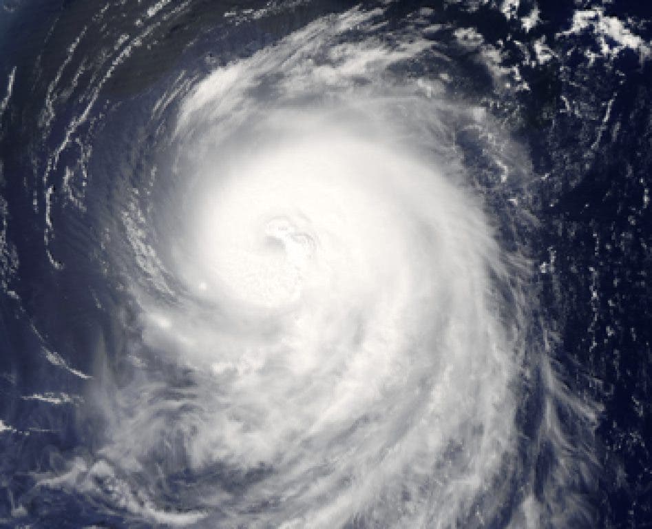
Forecasters painted a grim picture Thursday of Hurricane Irene's potential impact on North Jersey, calling for 80 mph winds and up to a foot of rain as the storm's eyewall passes close to Manhattan.
AccuWeather warned that area residents should be prepared Sunday for widespread power outages and trees being uprooted from the already-saturated ground. It classified the storm as bringing with it an "extreme" risk to lives and property.
Flooding could be intense in areas already prone such events, as New Jersey has already received double the amount of rain as in a typical August. Area residents can keep abreast of the level of rivers at the National Weather Service's Advanced Hydrologic Prediction Service.
Find out what's happening in New Milfordwith free, real-time updates from Patch.
The NWS predicts the impact of the storm will begin late Saturday and run through Sunday, first in the form of rain, with winds picking up as the day progresses on Sunday.
Gov. Chris Christie , urging a voluntary evacuation of Shore areas and mobilizing the National Guard. He said tourists should abandon their plans for a weekend trip to the Jersey Shore and that residents should immediately focus on hurricane preparedness.
Find out what's happening in New Milfordwith free, real-time updates from Patch.
"If it continues on the current track, from a flooding perspective this could be a 100 year event," Christie said.
Bergen County published a hurricane checklist for residents, which details the steps people should take in advance of the storm.
"Saturday night into Sunday is not going to be very pretty in New Jersey," said meteorologist Steve DiMartino of NYNJPAweather.com. DiMartino predicted the storm would cause a 3 to 5 foot storm surge in Ocean and Monmouth counties, and pack potential wind speeds of 75 to 100 mph on the coast.
But the reality is that forecasters will have to "now-cast" the storm surge and wind speeds, DiMartino said, explaining that much of that specific information will vary depending on how much the storm will weaken once it initially hits North Carolina, its first point of impact. The storm could weaken rapidly, he said, or actually gain some strength when it re-emerges into the Atlantic Ocean and begins to travel up the coast.
Get more local news delivered straight to your inbox. Sign up for free Patch newsletters and alerts.